Andrew and I went up to Willsboro over the Memorial Day weekend to support our friend John Rayburn in the annual Patch Sprint fundraising event. The Patch Sprint is a ~12 mile cross-country race that includes four local mountain summits, with the finish line at the summit of Pok-o-Moonshine Mountain. Proceeds to towards the Adirondack Scholarship Foundation which supports financial aid for campers at Pok-o-MacReady Camps, where Andrew, John and I spent many summers as campers, counselors, staff and volunteers.
I also had the opportunity to check out the flooding on Lake Champlain for myself, taking a tour of the shore-front structures.
At Flat Rock Camp, the water completely covered the rock right up to the north side of the building and halfway around the porch—some minor wave-action damage was visible at the north room, but plywood sheets and other temporary protection placed on the building sides seem to have absorbed most of the impact. The porch, however, took significant damage—the entire lake-side stone perimeter was chewed up, destroying the railings and crumbling some of the concrete inboard of the stone perimeter. Inside, I didn’t see any evidence of flooding, but as a precaution all the upholstered furnishings, rugs, etc., had been removed to the dining room and the kitchen wing, both of which are slightly higher in elevation.
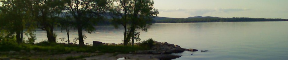
The Beach House is high enough that the house itself was never threatened, but the water completely covered the rock “beach” and was lapping over the embankment in front of the house. Although I imagine there’s been a lot of bank erosion, none of that will be visible until the water recedes.
Since Memorial Day, the north country has finally seen a sustained stretch of drier weather, so the lake is receding steadily (although still above flood level as of this posting). You can check the current water level graph at the USGS Real-Time Water Data site.
PS (added 19 August 2011): Since the USGS data site only shows up to 120 days history, I’ve added a fixed image of the chart as of today. You can clearly see the high-water point in early May, just over 103 ft. elevation above sea level.